


Welcome back to National Parks and other public lands with T!
Having taken a morning raft tour of the Colorado River, we chose to explore the Glen Canyon Dam after lunch.
First, we stopped at the Dam Overlook on the east side of the river. If heading from Page to the Carl Hayden Visitors center, the overlook is before you cross the river, tucked behind the Glen Canyon NPS Headquarters. We walked down the short, steep path and stairs to amazing views of the Dam and the Colorado River.

Then we crossed the River and signed up for the next Dam tour. (Note this was 2014. The dam has been closed to visitors since COVID and will remain closed through 2023.) We had to pass through security screening and pay a nominal fee. As a federal power plant facility, security measures are in place. While no bags, purses, knives, weapons (duh!) or food are allowed on the tour, wallets, cameras, and clear water bottles are welcome.

On the tour, we got to walk out on top of the dam with a knowledgeable guide. There are some artifacts on display.


The tour took us from the top of the dam, and down into it to see the workings of the power plant.

The Dam was completed in 1966 and forms Lake Powell. Though touted as a vital source of renewable energy and regulated water flow, environmental groups criticized its impact on the Grand Canyon’s ecosystem. Because of the controversy, it was one of the last dams of its size to be built in the USA.
Glen Canyon Posts➤
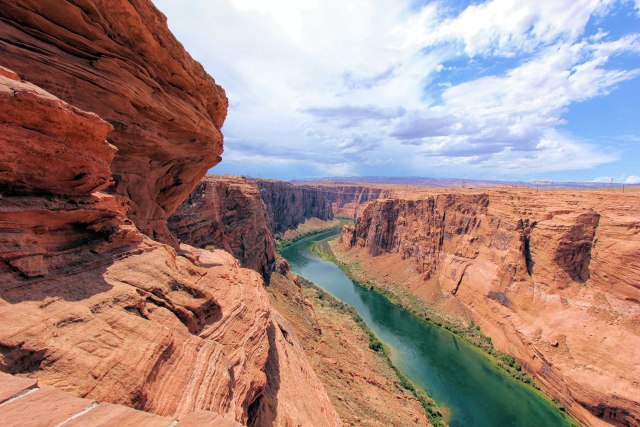
- Horseshoe Bend
- Lone Rock Beach
- Navajo Bridge
- Wahweap Overlook & Marina
- Colorado River & Petroglyph Walk
- Hanging Garden Trail
- Antelope Canyon

Location: Hwy 89, Page, Arizona
Designation: National Recreation Area
Date designated/established: October 27, 1972
Date of my visit: August 18, 2014

You must be logged in to post a comment.